Twenty-Six Feet and Rising: Guthrie Watches the Cottonwood
Deer Creek overflowed its banks Thursday, while the Cottonwood rose to within about two feet of action stage at Seward.
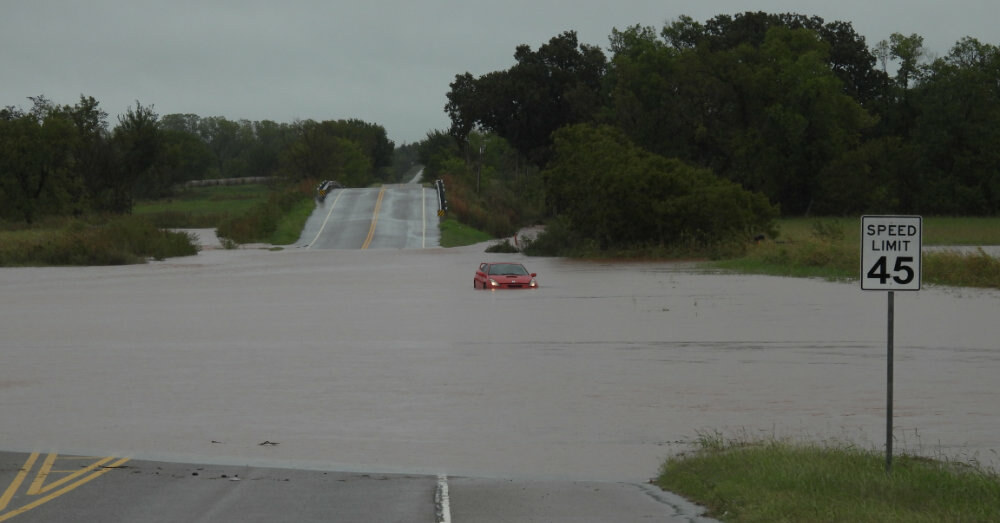
DEER CREEK, Okla. — (October 15, 2026) A vehicle sits abandoned to the whims of a flooding Deer Creek along Northwest 220th Street, just east of Portland Avenue, on Thursday after more than seven inches of rain fell across the area during the week.
Listen to this article
7 photos
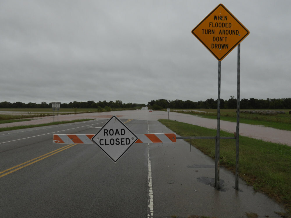
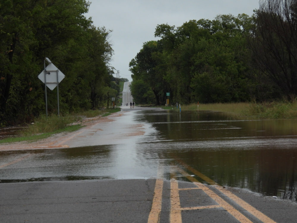
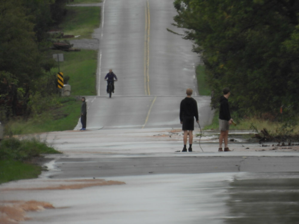
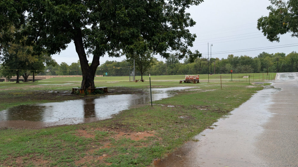
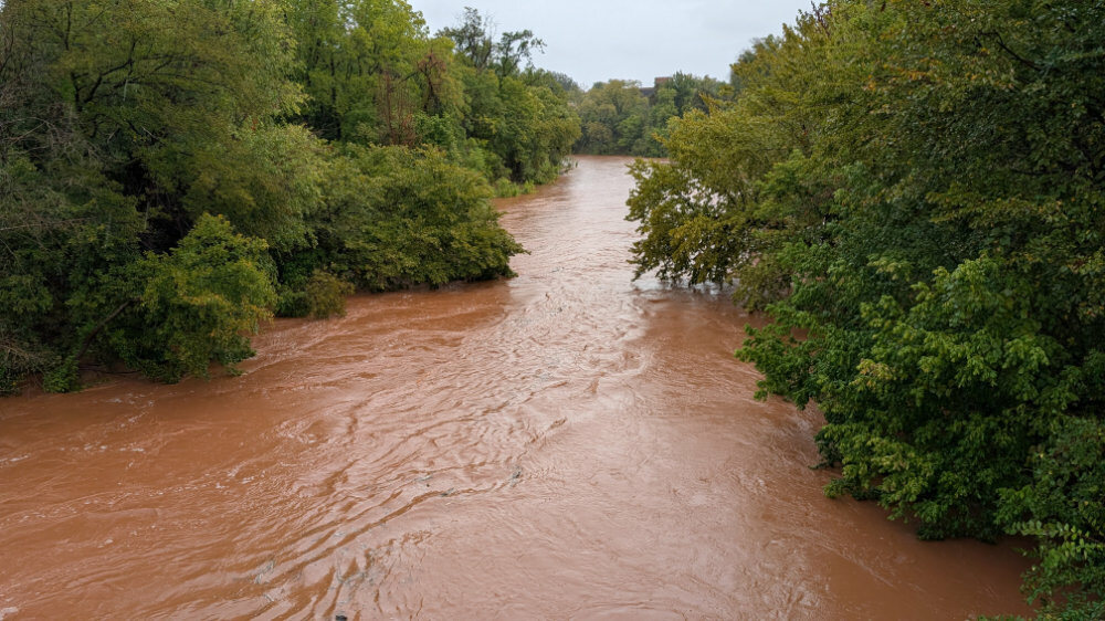
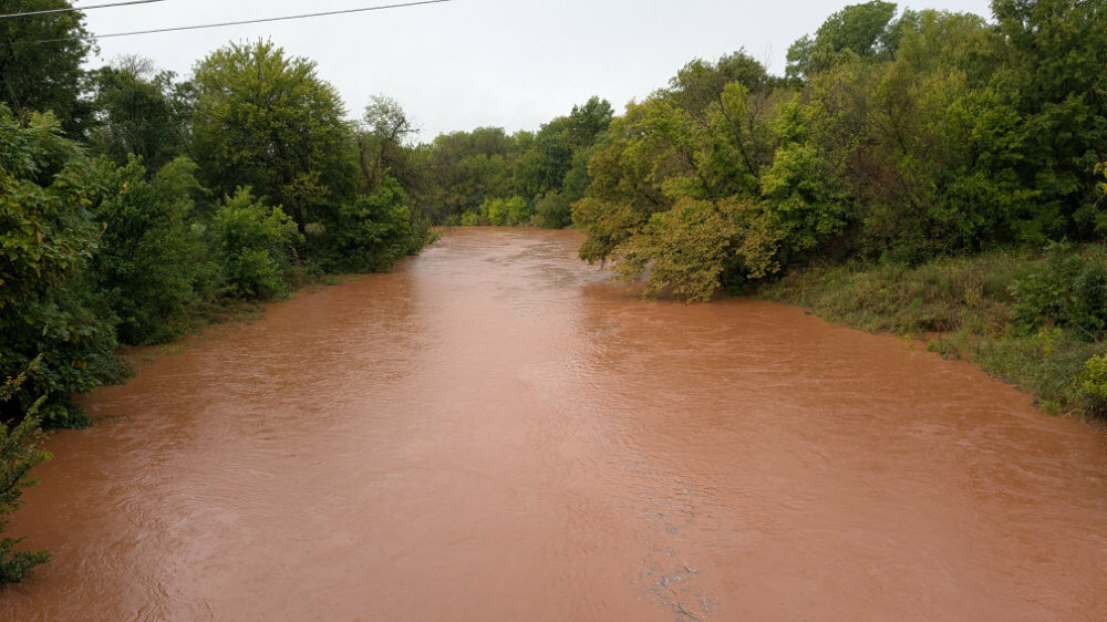

Guthrie residents began casting a cautious eye toward the rapidly rising Cottonwood Creek on Thursday as rain continued to fall, pushing the week’s rainfall total past seven inches.
The Oklahoma State Capital’s newsroom rain gauge recorded an additional 1.68 inches through the day, bringing the weekly accumulation to just over seven inches at the OSC weather station.
Earlier Thursday, Deer Creek overflowed its banks, closing Waterloo Road and 220th just east of Portland, where at least one car could be seen trapped in the current. Deer Creek fire crews received multiple calls about the car, and the driver is believed to be safe.
By Thursday evening, the Cottonwood had risen to just past 26 feet at the Seward gauge—about two feet below its posted action stage and four feet below flood stage. With rain still falling, the creek’s continued rise was becoming a development to watch.
The rain was expected to move out by Friday morning, closing out a storm that produced historic totals elsewhere in Oklahoma. Oklahoma City recorded 5.59 inches Wednesday, more than doubling its previous Oct. 14 record of 2.45 inches set in 1956. The Oklahoman reported that Wednesday ranked as Oklahoma City’s 11th-wettest day since records began in 1890, while Hydro’s 11-inch deluge ranked ninth among single-day rainfall totals in recorded state history.

Comments
No comments yet. Be the first to weigh in.
Join the conversation
Sign in with your OSC account to comment on this story and reply to other readers.